by
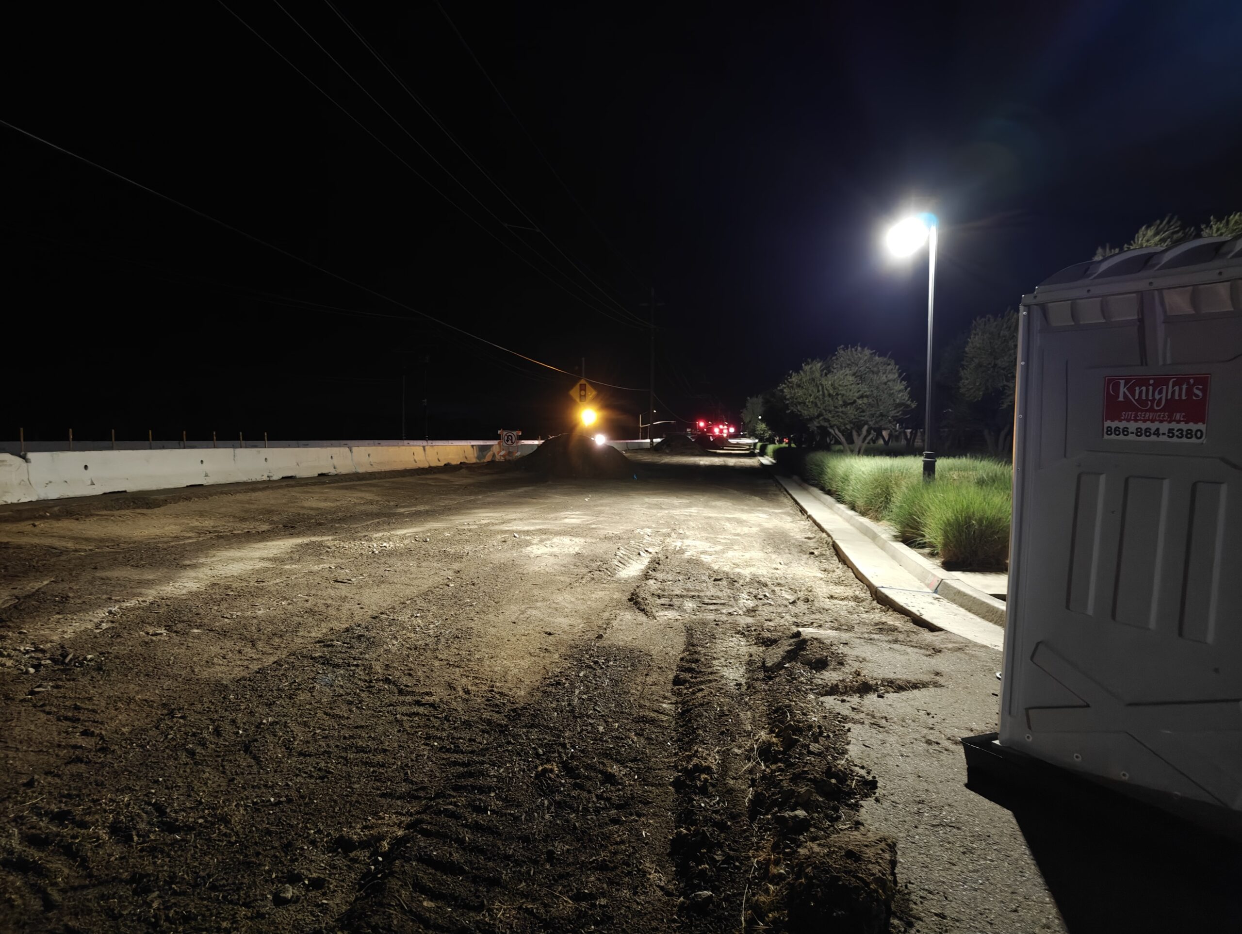
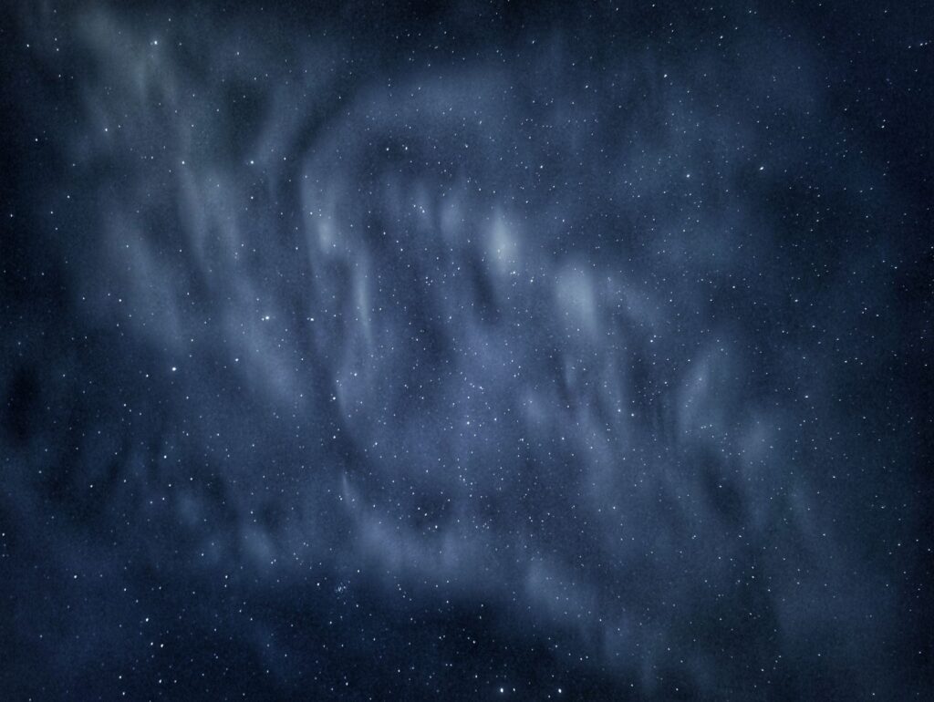
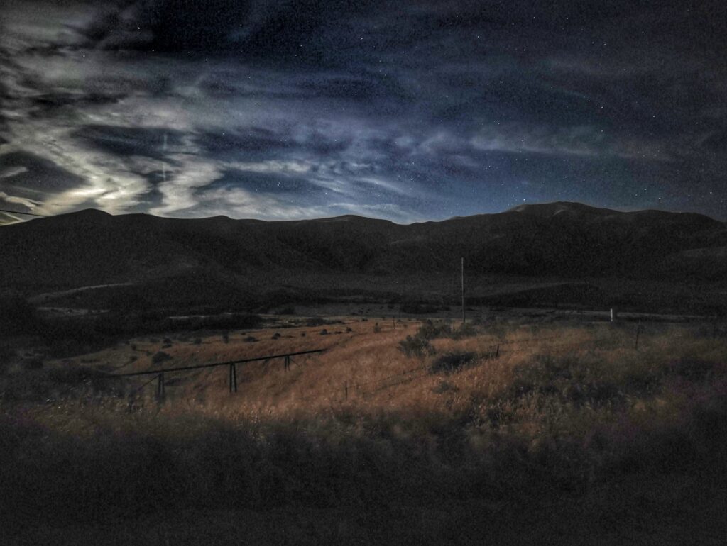
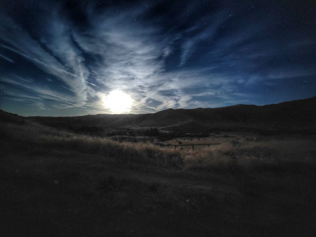
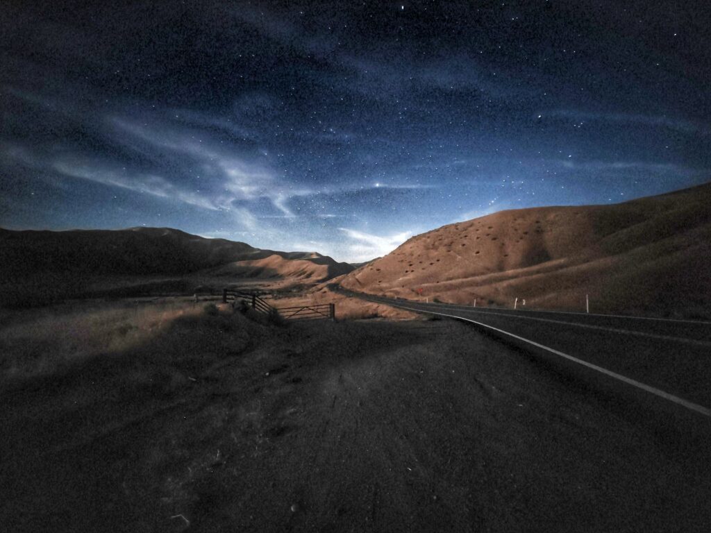
by If you’ve ever driven between the Central Valley and the coast, you’ve probably taken Highway 198 without giving it much thought. It’s not as famous as Highway 99 or as scenic as Highway 1, but it quietly does something essential: it links the Valley to the coast, the foothills, and the Sierra in one continuous line. Beginning near the Monterey County line just east of San Lucas, 198 cuts across rolling ranchland, climbs over the Coast Range, and drops into the wide-open floor of the Central Valley. Before it reaches Visalia and the Highway 99 corridor, it passes near Coalinga—a small but memorable stop for many Valley travelers. I’ve only been to Coalinga once myself, years ago, when I sold my old OnePlus 7 Pro, but that quick visit left me with a sense of how these rural towns anchor the long stretches of highway between regions and give the route its character. Below are some stunning night photos I took on the side of the road (on a turnout).
For Valley residents, 198 is more than a road—it’s a gateway. Head west and you’re on your way toward the Salinas Valley, the Monterey Peninsula, and eventually the Bay Area; head east and the highway becomes the main entrance to Sequoia National Park, carrying travelers from the flat Valley floor into the steep, winding foothills. Even though Fresno isn’t directly on 198, the connection still matters: it’s the quickest way to reach the coast from the southern half of the Valley and the most direct route to Sequoia for anyone coming from Fresno County. Highway 198 may not be the star of California’s road system, but it’s one of the most quietly important—the road you take when you want to get somewhere, whether that’s a national park, a coastal town, or simply the next chapter of your day.